Our
16 mile, 3-day backpacking trip in Henry Coe Park Each of these photos can
enlarged by clicking on them. |
|
|
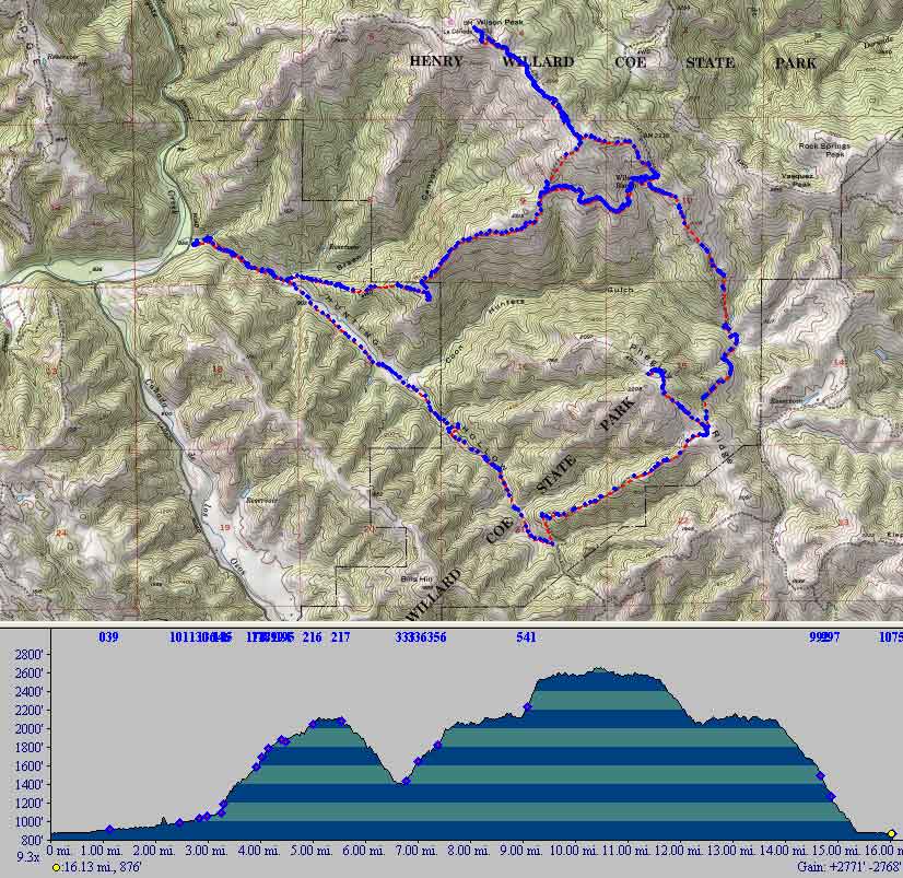
Our 3-day trip began at the Hunting Hollow
parking lot entrance to Henry Coe park. We hiked counterclockwise
starting at the left side of the map. We made two day-hike loops;
Phegley Ridge on the right and Willson Peak at the top of the map. Below the map is the elevation profile as we progressed on our trip. |
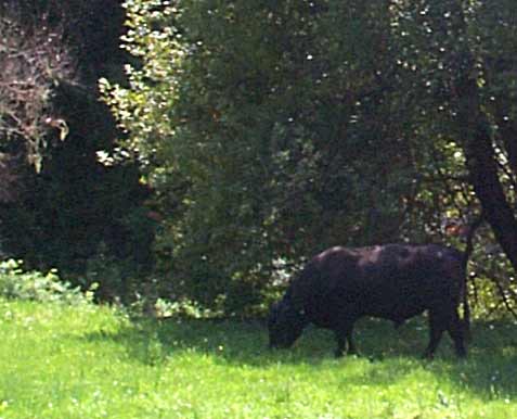 |
Our first encounter with the dangers of backpacking was a huge black bull who was about 20 feet from the path. We slowly passed him knowing that we couldn't outrun him with our backpacks. (Ray said he didn't have to outrun the bull - just Betty! What a guy!) |
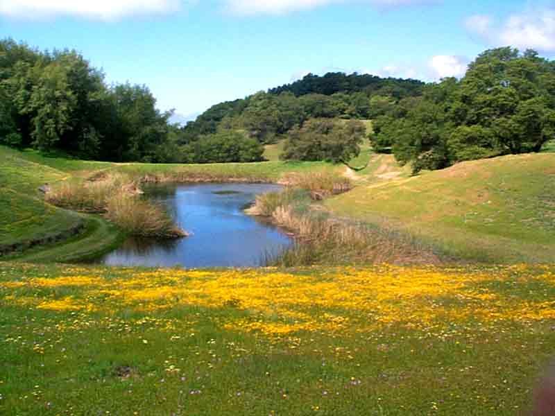 |
Arriving at the Red Fern camping area after a 5-1/3 mile hike with a 1,200 foot climb. Two deer greeted us at our campsite. That evening we took a 2-mile walk. There wasn't anyone around - just red-winged blackbirds noisily staking out their nesting areas in the reeds. |
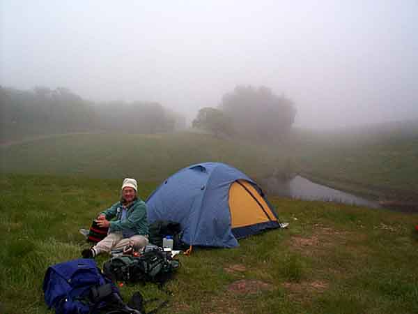 |
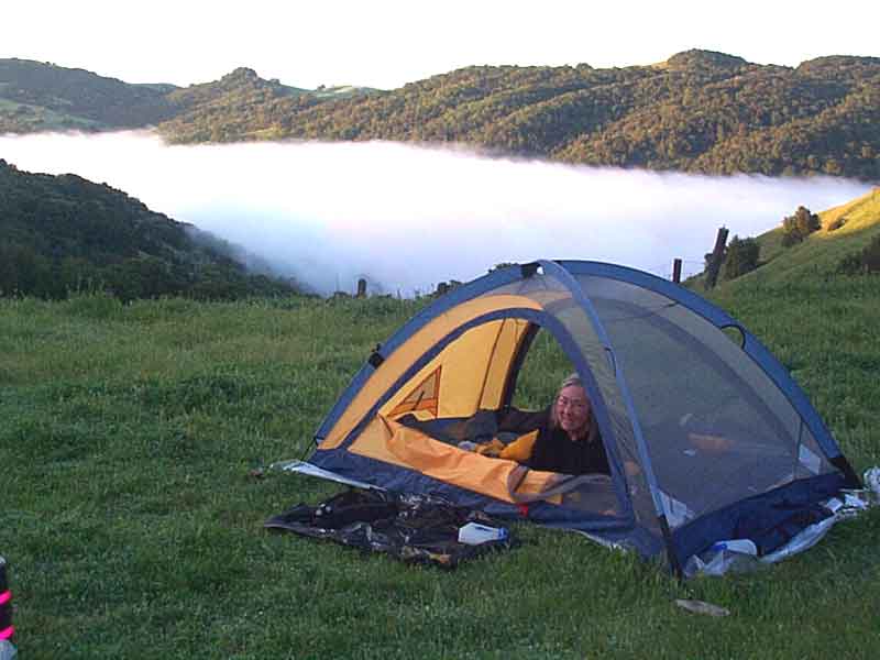
We went to bed early but were wakened several times during the night by the howling and yipping of coyotes. Their singing was loud and clear so they weren't too far away...like just over the ridge in the dense vegetation. The next morning we awoke to find we had camped in the clouds. We stayed in our sleeping bags until around 9 am when the sun came up. |
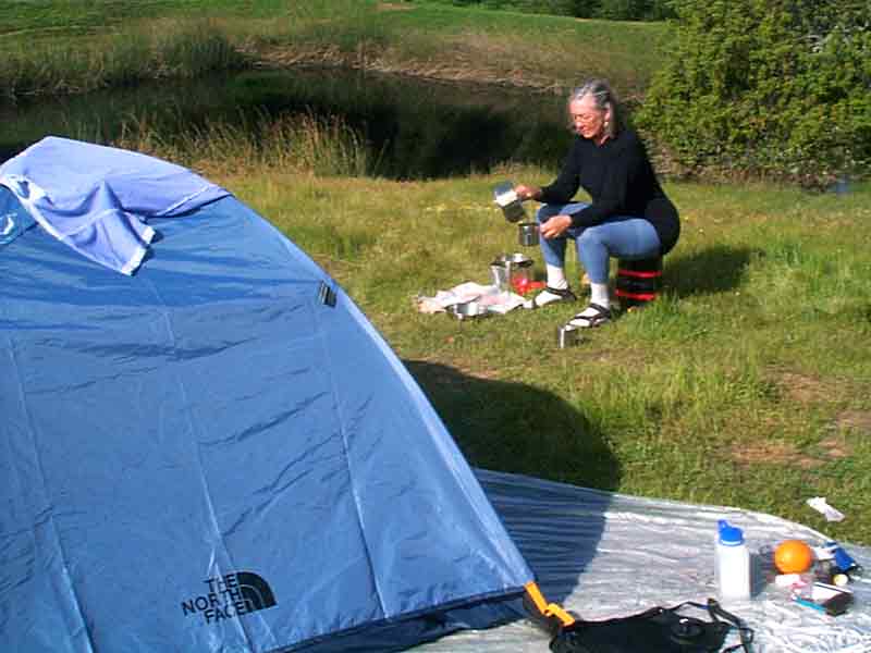 |
But soon the sun burned off the fog and Betty prepared hot chocolate and oatmeal with dried fruit...yummy and soooo good. The sun quickly dried our tent, we packed up and were on our way again. |
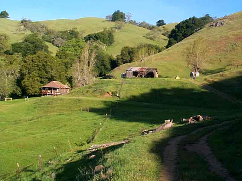 |
After a 3-mile hike, we arrived at the abandoned Willson ranch. (It's often misspelled with one L.) There's the main house with two small bedrooms, large kitchen, and living room. It had running water, propane, and electricity but still used an outhouse. |
 |
After setting up camp, we started our 4-mile circular hike to Willson Peak. We'd been warned to watch out for snakes. As we trudged up the mountain, Betty encountered this baby Gartner snake sunning itself in the path. |
 |
With an elevation of 2,651 feet, we could see over the Gilroy area all the way to the Monterey bay. |
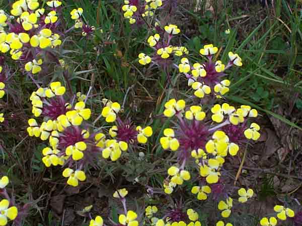 |
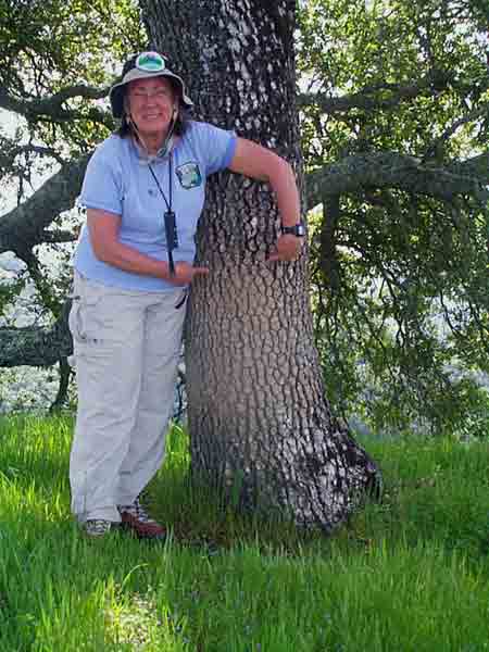
Every so often, we would see patches of little flowers such as these Butter-and-Eggs, Johnny-Tuck. This was the perfect time of year for a hike as spring was everywhere with a multitude of flowers in full bloom, green grasses, new leaves, and chirping birds. The paths weren't yet dusty and the kids were still in school so it was quiet. We only saw one person on our way in and a couple on horseback on our way out. |
 |
The next morning the canyons were filled with fog. It was absolutely beautiful and the solitude was wonderful. |
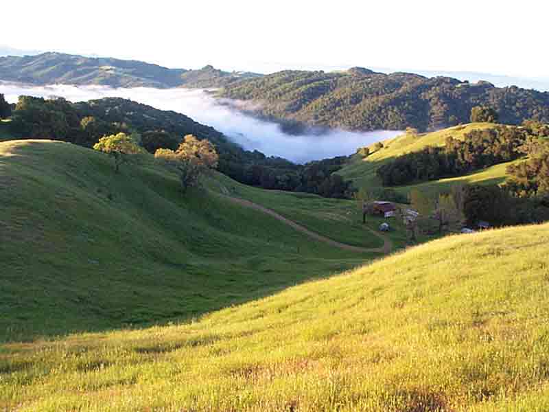 |
Climbing the hill above the ranch, the whole valley was in fog. As the sun rose and warmed the fog, the ocean of cotton slowly evaporated. After another hot breakfast, we packed up and started our 5-mile trek home. |
 |
We saw one wild pig. They are definitely around as they dig up the ground all over the hills; some areas look like they've been plowed. They like to wallow in the ponds then scratch themselves on nearby trees. You don't want to mess with these pigs as they are huge. Look how high on this tree they've left mud. |
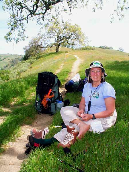 |
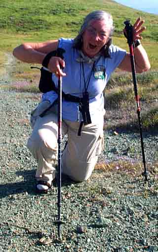
Although your shoes may feel fine around town, the real test is carrying a 35 pound backpack up and down hills for several miles. Even with hiking socks and sock liners, sometimes blisters still develop. Betty's taking care of one here. |
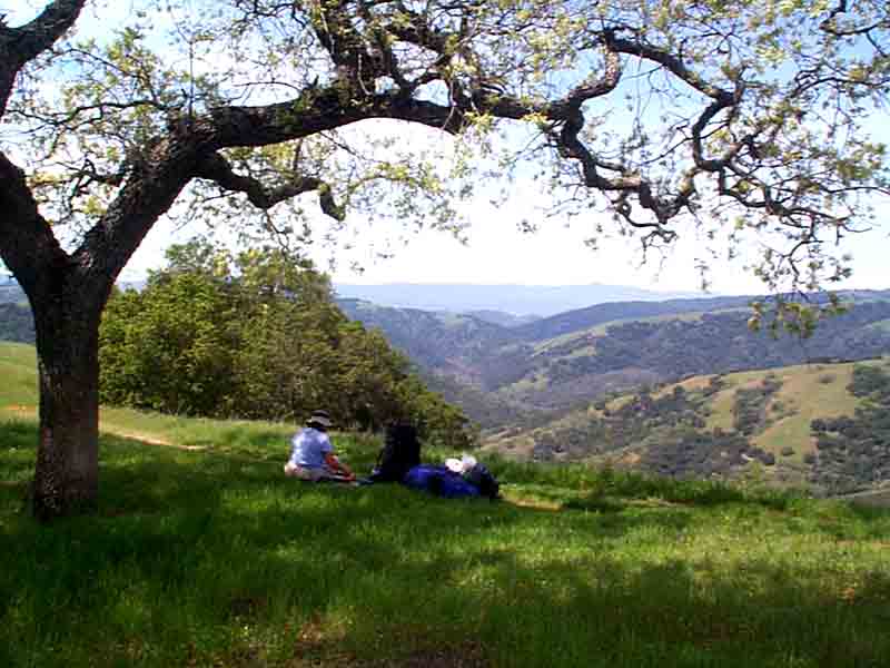 |
We climbed higher then gradually descended. Here we stopped for lunch. In the distance is our destination about 2 miles away and 1,000 feet lower. The last mile of our descent was quite steep as you can see on the elevation profile in the map. |